

Pantalica Necropolis is a rocky archaeological site between Sortino and Ferla, where the Calcinara valley meets the Anapo valley. Its more than 5,000 rock-cut tombs and network of paths make it a day-trip option from Siracusa, but choosing an access point matters: trails range from a broad, flat former railway route to steeper climbs.
- Location: between Sortino and Ferla, where the Calcinara and Anapo valleys meet.
- From Siracusa: UNESCO gives the distance as 40 km; the Aretusa Palace Hotel is about 24 km from the site.
- Access: five points are available: Fusco, Saramenzana, Palombazza, Cugnarelli and Ponte Diga.
- Entry: the trail information page reports no entrance ticket, but this can change.
What makes the Pantalica landscape distinctive?
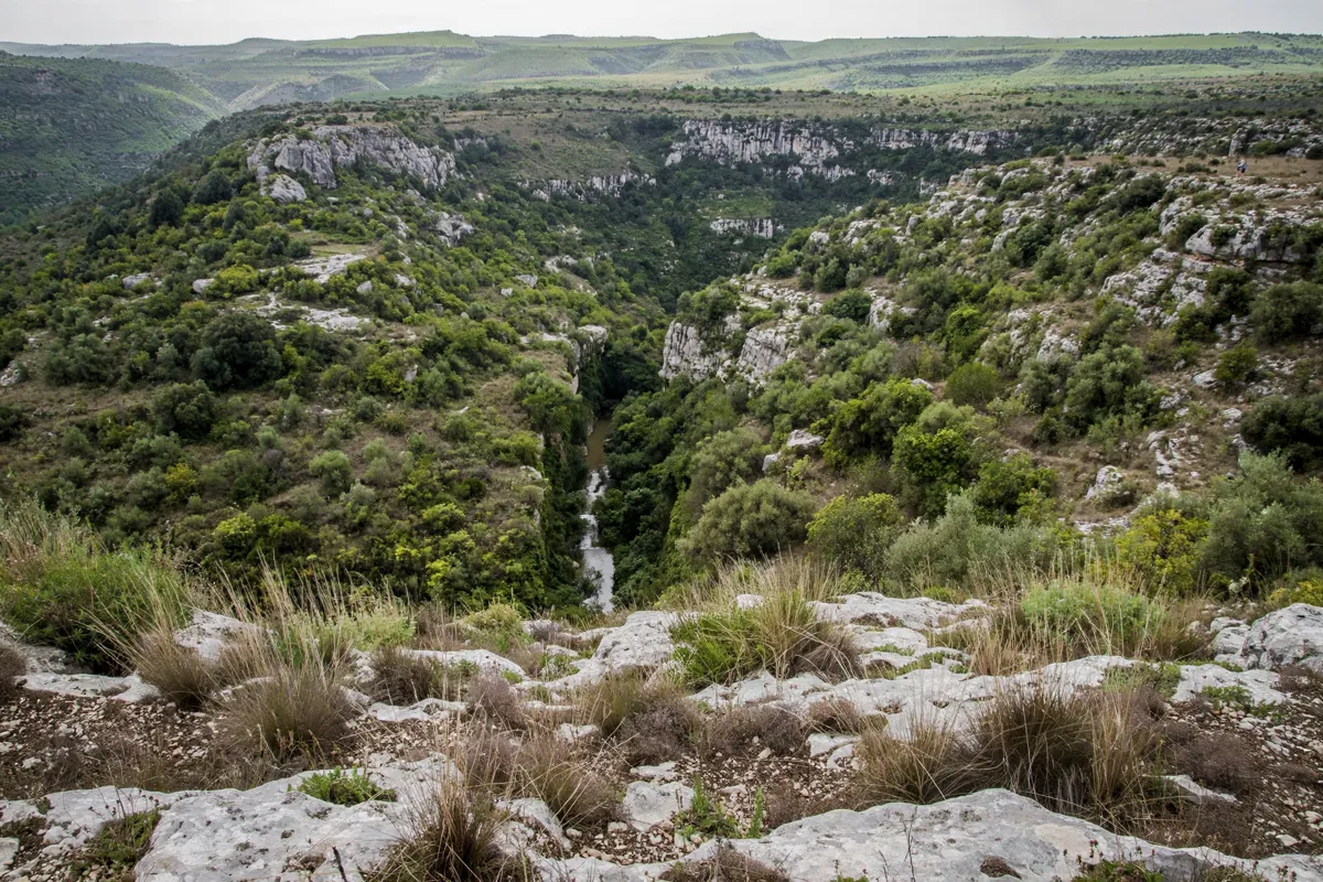
Pantalica combines rock-cut burial sites, valley scenery and traces of settlements from different periods. UNESCO describes more than 5,000 tombs, most dating from the 13th to 7th centuries BC. The archaeological park also identifies separate settlement phases at Pantalica Nord and Pantalica Sud.
The landscape holds more than tombs. Remains of three Byzantine rock-cut villages lie around the churches of the Cave of the Crucifix, San Nicolicchio and San Micidiario. The Anaktoron, also known as the Prince’s Palace, is described by the regional archaeological park as the only surviving Late Bronze Age building at Pantalica.
Pantalica and Syracuse were inscribed together on the UNESCO World Heritage List in 2005. The UNESCO-listed property covers 898.46 hectares, with a buffer zone of 5,519.4 hectares.
How do you choose a route and access point?
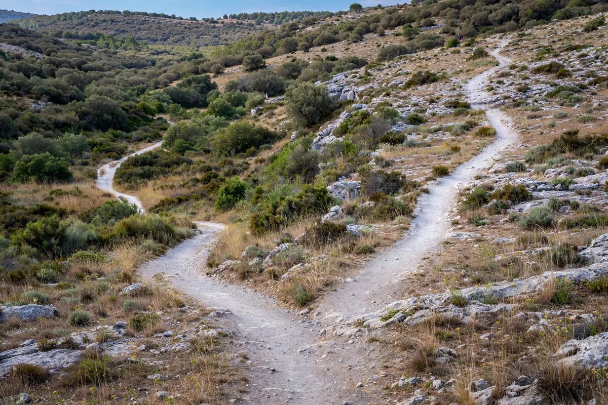
Your access point shapes the walk at Pantalica: Fusco leads to the former railway route, while Palombazza gives access toward Sella di Filiporto and the Anaktoron. Five access points are available: Fusco, Saramenzana, Palombazza, Cugnarelli and Ponte Diga.
The old Siracusa–Vizzini railway route, built in the early 1900s, is now a walking route. Its path is flat and wide. Routes climbing to the upper plateaus and necropolises are steeper, less clearly marked and involve significant elevation gain, so consider the terrain when selecting your walk.
From a four-star hotel in Siracusa, Pantalica is about 24 km away. The site’s entrances are not served by bus lines, and access roads are narrow and winding. Parking areas are reported at open entrances; check the route and access status before setting out.
What is the walk among the rock-cut tombs like?
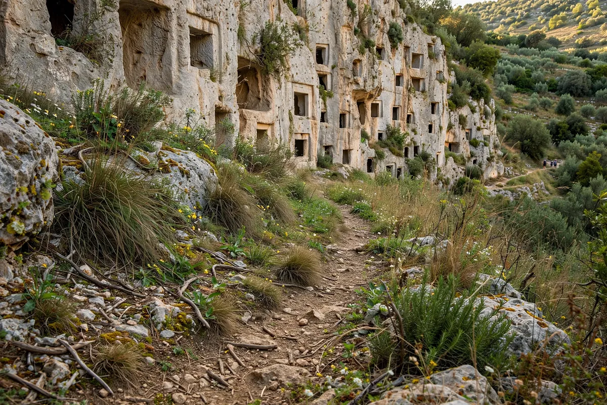
Walking at Pantalica can mean a relatively level stretch along the former railway or a more demanding climb toward tombs on the plateaus. The difference in gradient and wayfinding is significant: upper routes are steeper and less clearly marked than the broad railway path.
Valley-floor paths have substantial shade from riverside vegetation, while the plateaus have no shade. That contrast can help you decide how much of the route to take on and when to visit each part of the landscape.
What should you check before visiting Pantalica?
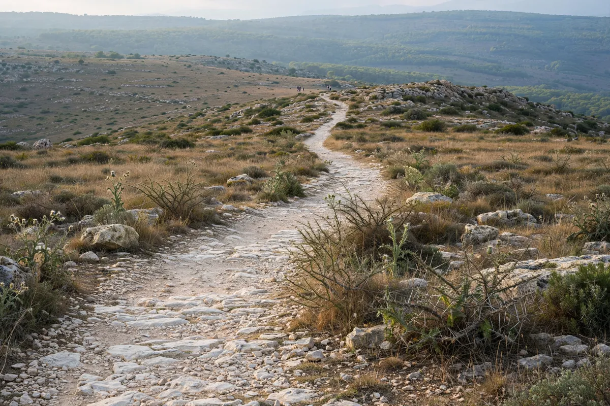
Access arrangements and route conditions can affect which parts of Pantalica you can reach. Ponte Diga has had reported access restrictions, and the trail information page advises confirming whether the former railway route is passable end to end or only as an out-and-back walk. Check the official site before you go.
The trail information page reports no water-refill points along the route, so bring enough water for your walk. Domestic animals are prohibited in the reserve. The no-ticket information is subject to change, and shuttle arrangements or access conditions may also differ; confirm current details before planning around them.
How should you plan the day from Siracusa?
Start by choosing an open access point and a route that matches the terrain you want to cover. If you prefer a flatter walk, consider the former railway path from Fusco; for access toward Sella di Filiporto and the Anaktoron, the trail information identifies Palombazza.
Allow for the return along the same path if the railway route is not passable end to end.
For a different day out from Siracusa, you can plan a day trip to Vendicari Nature Reserve.
Bring water because there are no refill points, and account for the exposed plateau sections if your route climbs above the valley floor. From Siracusa, UNESCO gives the distance to Pantalica as 40 km, making the site a substantial outing rather than a walk within the city.
For a different day out from Siracusa, you can plan a day among Noto’s Baroque streets.
FAQs
How many tombs are at Pantalica?
UNESCO describes more than 5,000 rock-cut tombs at Pantalica. Most date from the 13th to 7th centuries BC.
Is there an entrance fee for Pantalica?
The trail information page reports that no entrance ticket is required, but this information may change. Confirm current access details before your visit.
Are there buses to Pantalica?
The trail information page reports no bus lines reaching the reserve’s entrances. Access roads are narrow and winding, with parking areas reported at open entrances.
Are Pantalica’s trails suitable for an easy walk?
The former railway path is flat and wide. Trails to the upper plateaus and necropolises are steeper, less clearly marked and involve significant elevation gain.